
Sustainable Station Features
Innovation and Environmental, Social & Governance (ESG) are embedded into every aspect of the project
The overall station design incorporates elements of sustainable development, with a target to attain BEAM Plus Gold Certification for the project
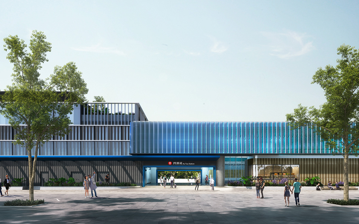
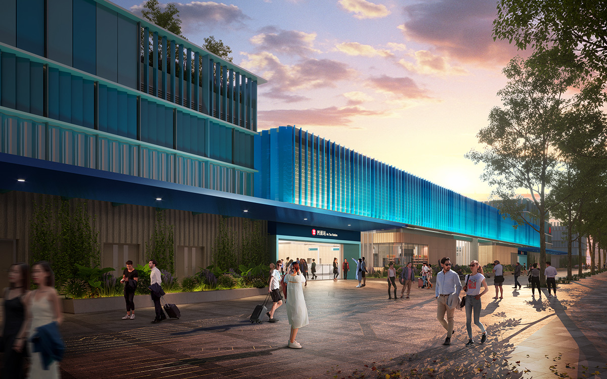
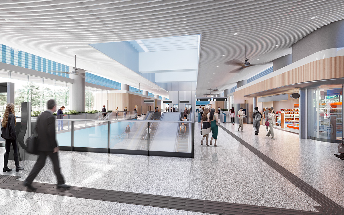
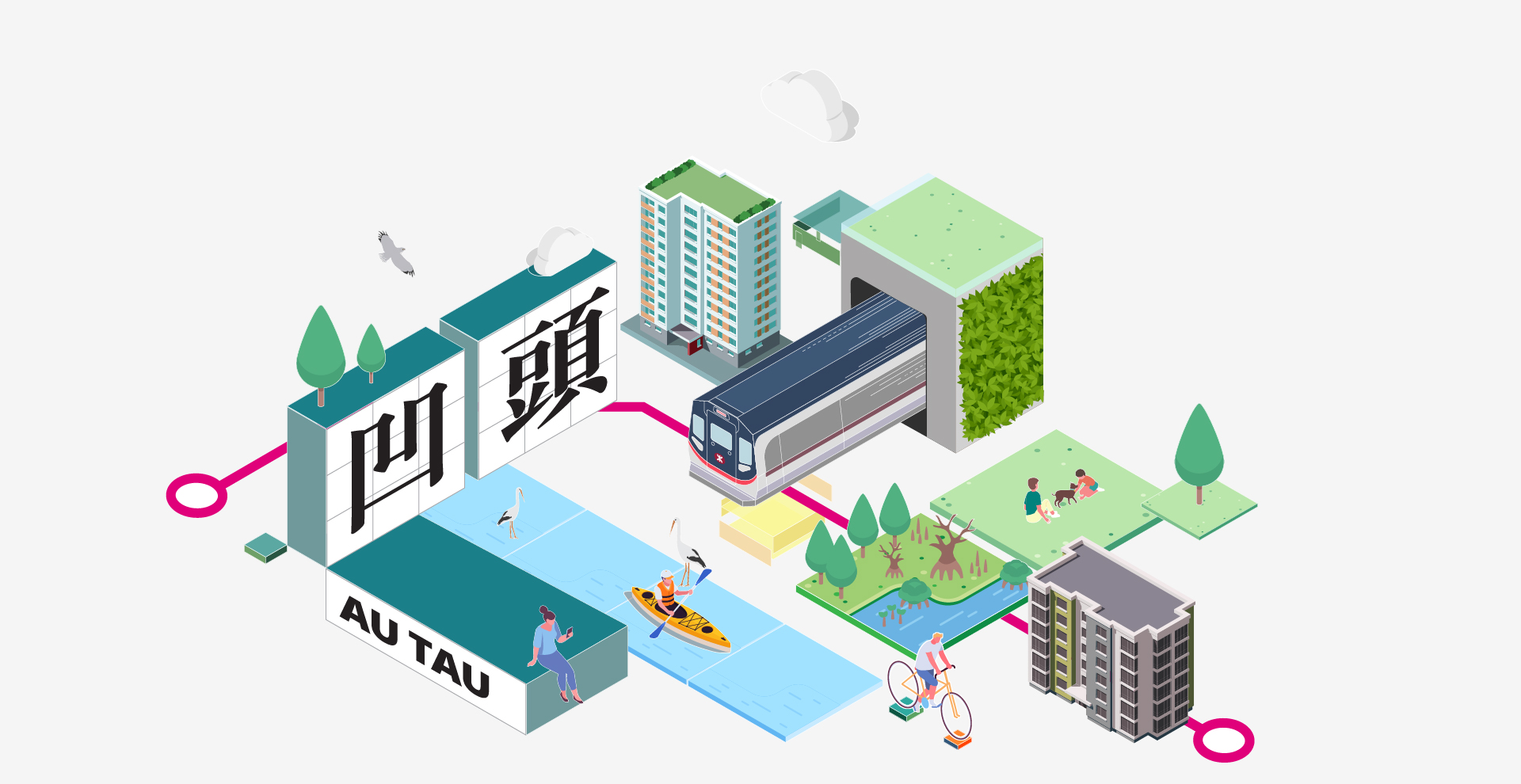
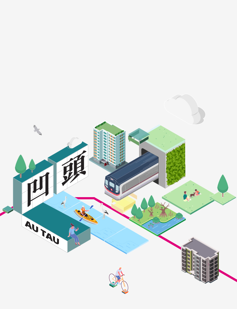
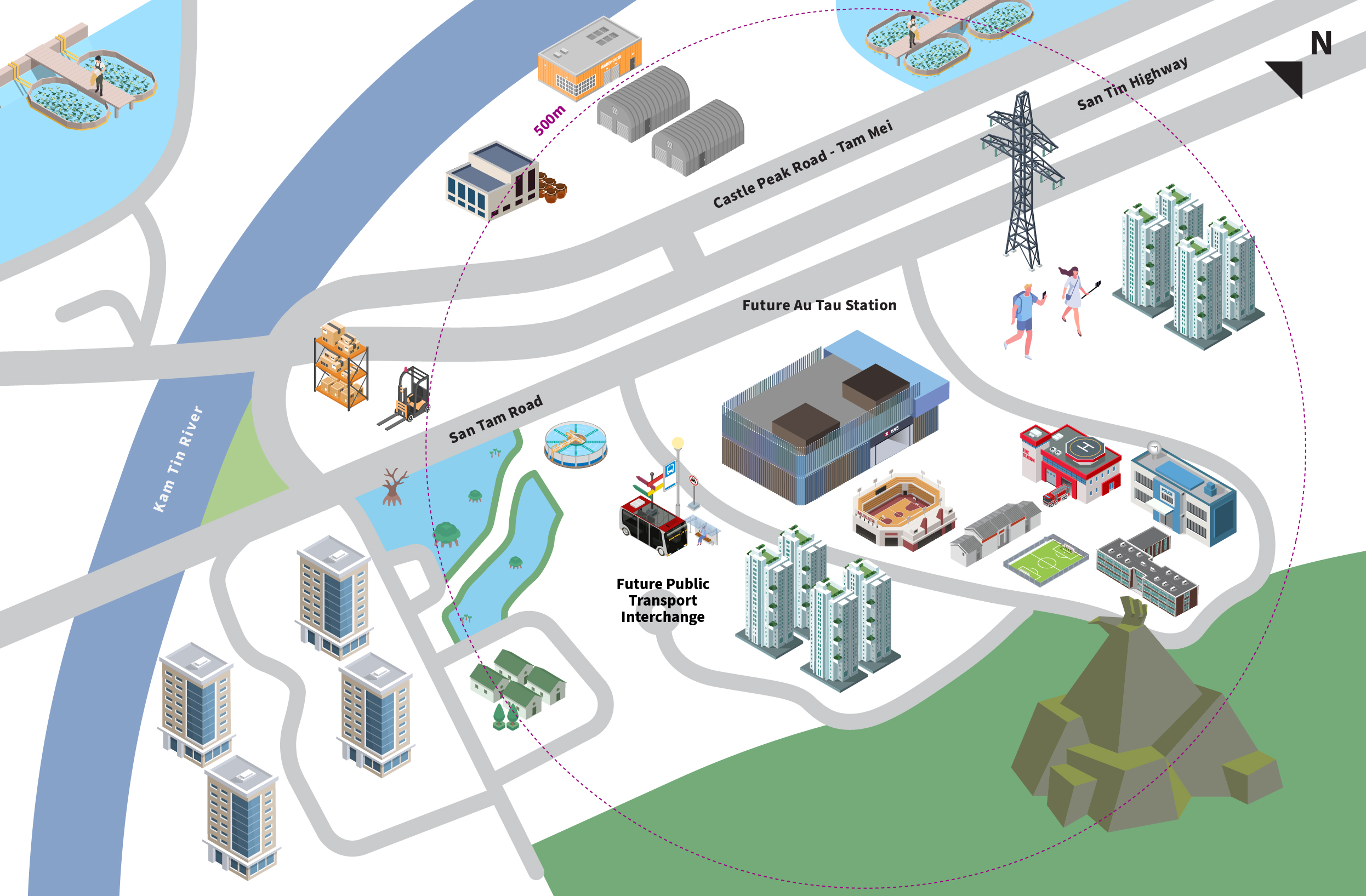
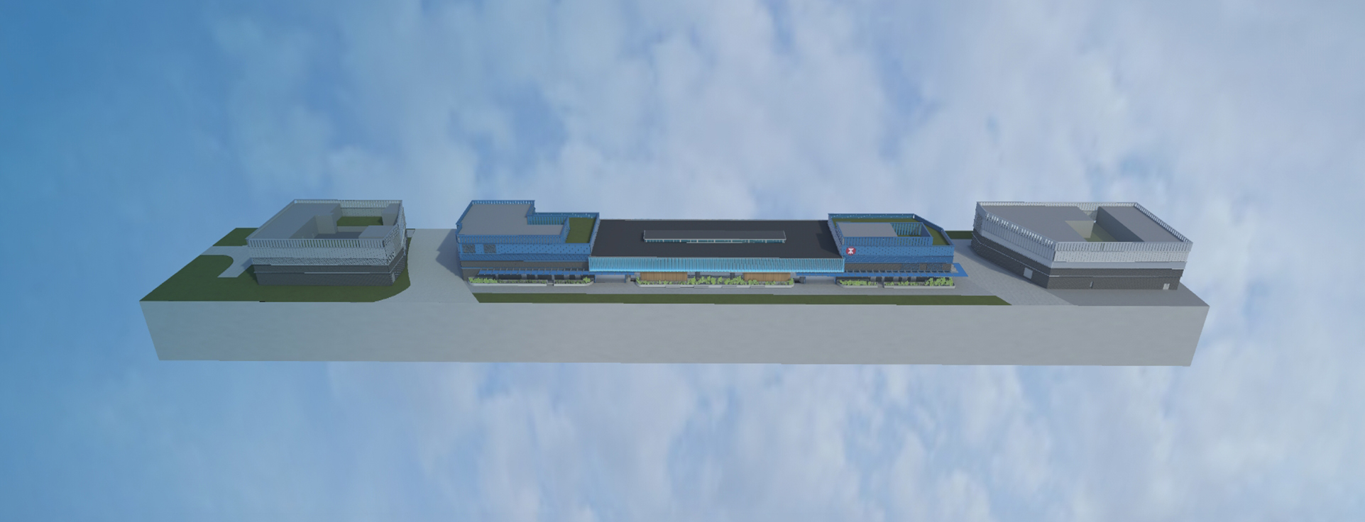
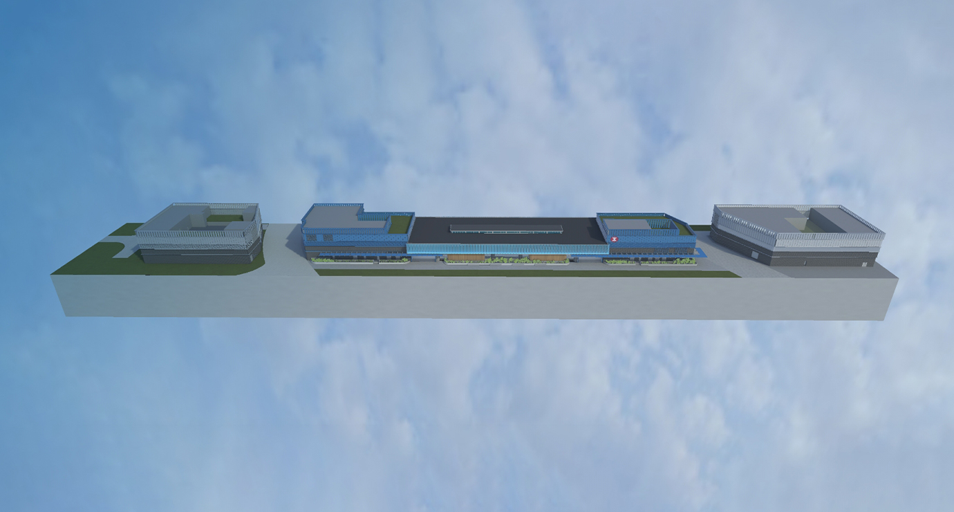
The overall design of Au Tau Station incorporates features of Au Tau’s natural scenery and ecologies, aiming to realise the integration of urban and rural areas while promoting railway development in the community. The entrances / exits of the station adopt an open design to strengthen air circulation and create a comfortable station environment for our passengers. The station is also equipped with an energy-efficient green roof and a rooftop solar photovoltaic system, concurring with the green space inside the station, which helps maintain good indoor air quality. Part of the station concourse is designed to be made of translucent materials so that the landscape of the proposed open space outside the station can be extended into the station, enhancing natural lighting and the feeling of spaciousness. There are also ingenious details in the design of the skylights, which offer easy wayfinding for our passengers and facilitate passenger diversion, making their journey smoother. Examples of sustainable features of Au Tau Station include:
-
Natural Lighting
-
Natural Ventilation
-
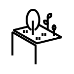
Green Roof
-
Neighbourhood Integration
-

Inclusive Design
-
Neighbourhood Integration
-
Inclusive Design
-
Inclusive Design
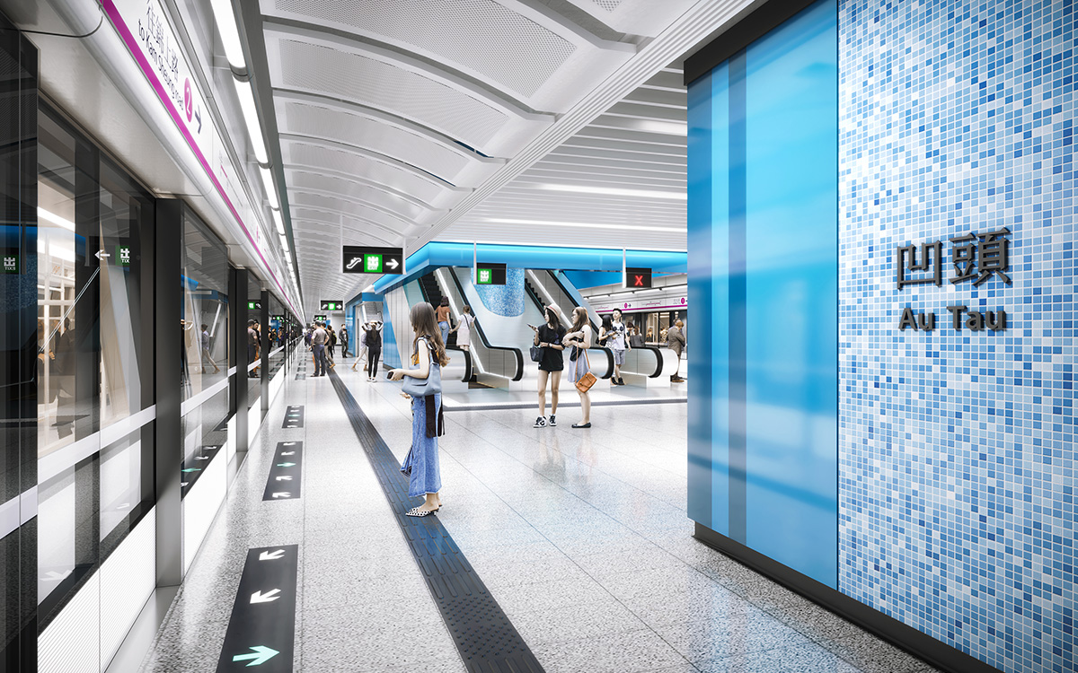
Caring and barrier-free station facilities, such as passenger lifts, barrier-free accesses and public toilet will be available at Au Tau Station for passengers in need, facilitating them to travel with ease. The station will also be equipped with a babycare room, providing a more comfortable environment for passengers to breastfeed and take care of their babies.
Use of innovative technology to enhance construction quality and work efficiency
Building Information Modelling (BIM) technology has been applied at every stage of the Northern Link project to visualise the railway structures’ internal and external design, making integration and communication on construction works easier. The project team is also actively studying the adoption of the Design for Manufacture and Assembly (DfMA) and Modular Integrated Construction method (MiC) to minimise on-site construction processes, thereby enhancing project quality.